
Tuesday, September 30, 2014
Thursday, September 25, 2014
Blog assignment #4
 | |||||||||||||||||||||||||||||||||||||
http://spu.edu/info/maps/campus-pictorial.asp I selected this map because I thought it was interesting how the artist placed the city of Seattle in the back ground. This is a campus map of Seattle Pacific University. | |||||||||||||||||||||||||||||||||||||

Monday, September 22, 2014
Blog assignment #3
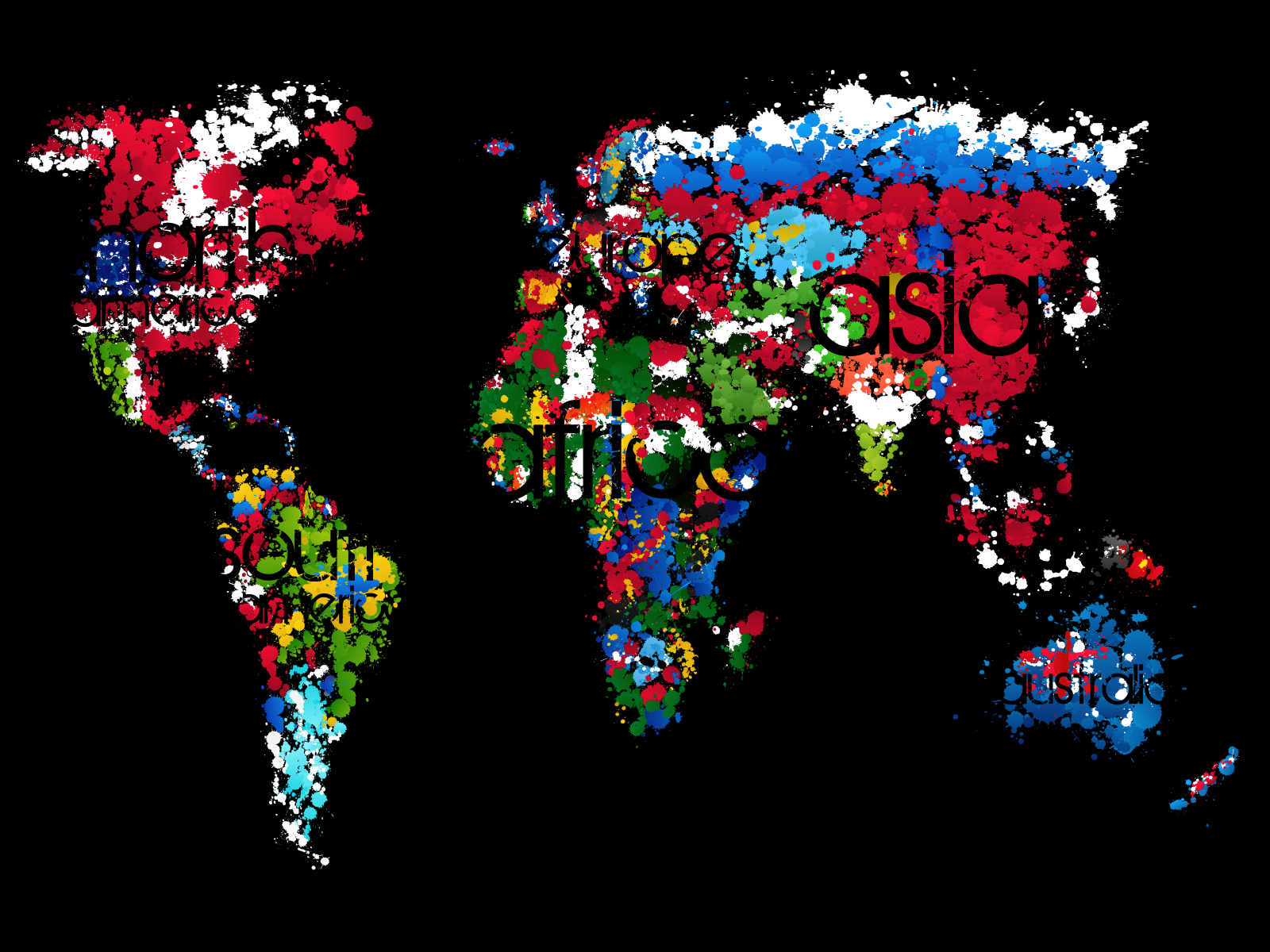
I picked this map because the cartographer used the type creatively by blending it in with the background to label the landmasses.
http://fc01.deviantart.net/fs36/i/2008/269/2/1/Let__s_Paint_Our_World_by_0ziriz.png
Tuesday, September 16, 2014

Thursday, September 11, 2014
Blog assignment #2

Richard Edes Harrison during World War II made this map in the perspective of a pilot. In the article I read, Harrison was an artist not a cartographer. I picked this map because I felt it was very interesting for that time period.
Source:
http://lincolnmullen.com/blog/map-projections-and-the-historical-imagination/
Tuesday, September 9, 2014

Subscribe to:
Comments (Atom)